Hydraulic Solutions
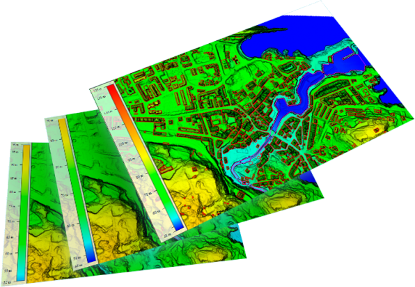
DIELMO 3D has over 10,000 kilometers of international experience generating digital terrain models optimized for hydraulic studies, integrating LiDAR data with bathymetric profiles, and performing riverbed correction to ensure water always flows in the correct direction.
We work with both hydraulic engineering companies and data capture firms that prefer to delegate the generation of final products to a specialized external company.
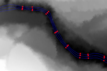
integration of bathymetric profiles
We have our own methodology to integrate bathymetric profiles with LiDAR data to generate a continuous DTM.
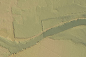
Natural DTM
Using LiDAR data, we can generate different elevation models. The natural DTM excludes buildings and bridges.
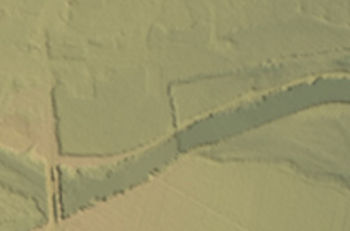
DTM with bridges
From LiDAR data, we can create different versions of digital terrain models, as seen in this example with bridges.
LiDAR data survey
If there are no freely available LiDAR data for the hydraulic study, we can conduct a new drone or aircraft flight depending on the area to be studied.
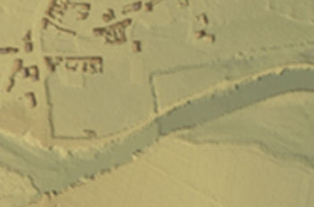
DTM without bridges with buildings
Using LiDAR data, we can produce different versions of digital terrain models. In this example, without bridges but including buildings.
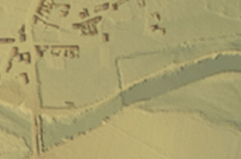
DTM with bridges and buildings
A partir de datos LiDAR podemos generar diferentes versiones de los modelos digitales del terreno. En este ejemplo con puentes y edificios.