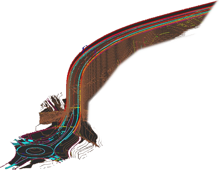
solutions for civil engineering
Any civil engineering project requires advanced surveying services like those offered by DIELMO 3D.
We work for both civil engineering firms and data capture companies that prefer to outsource the generation of final products to a specialized external company.
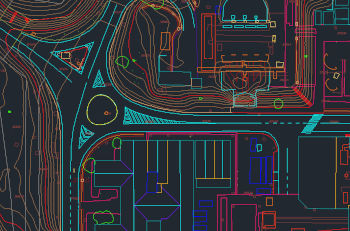
vector mapping
We generate all types of mapping from aerial or car-captured data.
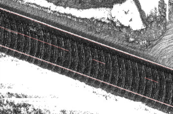
automatic digitization
Hemos desarrollado algoritmos automáticos para extraer las líneas de la carretera a partir de datos LiDAR para luego poder ajustar el eje.
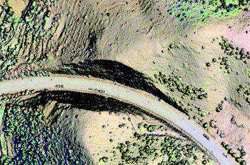
earthwork computings
We can collect data with drones and perform earth movement calculations compared to various dates or with the project.
data survey
All types of geospatial data capture services: Surveying, airborne sensors (airplane, helicopter, drone), terrestrial (car, on foot).
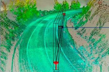
visibility distance
From LiDAR data, we have developed proprietary algorithms to obtain accurate visibility distance maps, including any object such as vegetation.
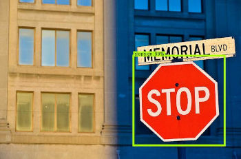
inventory, visual inspection, monitoring
We have developed our own cloud-based SaaS platform for conducting inventories, monitoring, and visual inspections using images and video.